Mapping Intent: Agentic UAV Route Planning with Semantic Cost Maps
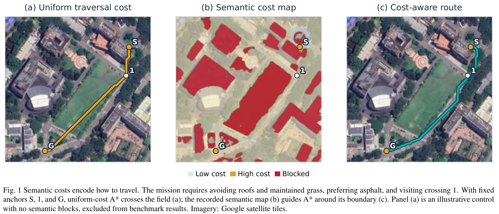
A vision-language agent translates natural-language UAV missions into editable semantic cost maps and ordered route anchors. It evaluates A* paths and revises its decisions through visual feedback to account for terrain preferences, visits, and surveys. Across 27 missions with three repetitions, the system returns all 81 routes with a mean model-judged checklist violation rate of 14.7%, compared with 45.8% for a local OVerSeeC implementation.